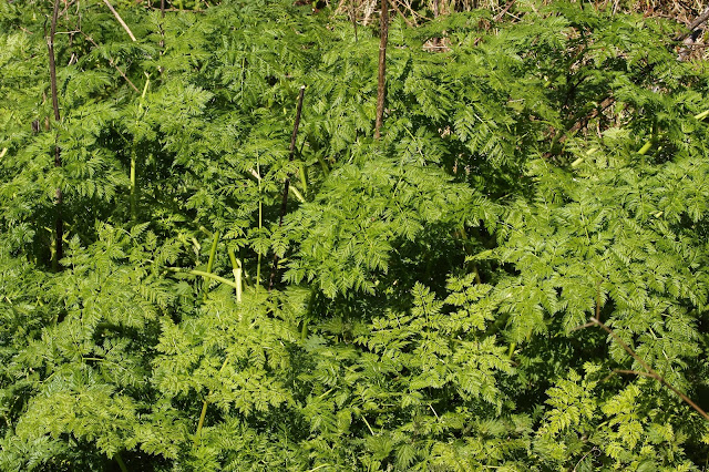
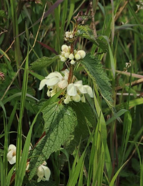
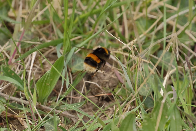
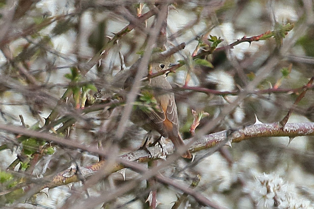
11th April 2021. For the first time in a while, Andy M took a walk along the Old Railway Cutting at the weekend, and captured a few things that peaked his interest.
Sightings and news for the Naturewatch group of Great and Little Abington in Cambridgeshire, UK. See below for more details and information on how to join.
Tuesday, 13 April 2021
Old Railway Cutting walk
The Aims of Abington Naturewatch
At their meeting on 9 April 2005 the members approved this revised version of the aims of Abington Naturewatch:
- To monitor and record the wildlife (fauna & flora) within the borders of the Abingtons;
- To encourage protection of our wildlife, maintain its quality and foster its diversity;
- To promote awareness of the richness, potential and problems of the natural environment of the Abingtons;
- To cooperate in improving access to the local natural environment for the benefit of all Abington villagers.
The organisation is informal and communication is by email if possible; members are notified of events from time to time. Contact details are maintained by a small "project team". There is currently no membership fee as costs are covered by voluntary contributions at events.
Members are encouraged to report notable sightings of flora and fauna within the Abingtons to the appropriate sector coordinator and an illustrated record is published annually.
A map of the area covered, with some features noted, is available here: http://maps.google.co.uk/maps/ms?ie=UTF8&hl=en&msa=0&msid=213774935674882866424.00000111dca2be9f06ab8&z=13>
For more information or to join, please contact David Farrant on (01223) 892871.
Contributions to our records should be sent to sector contacts or either of the above. Photographs may also be submitted to Andy Merryweather (amerryweather61@gmail.com)


No comments:
Post a Comment